Churchfield / Páirc an Teampaill
St Martin's Church / Teampaill Mártain
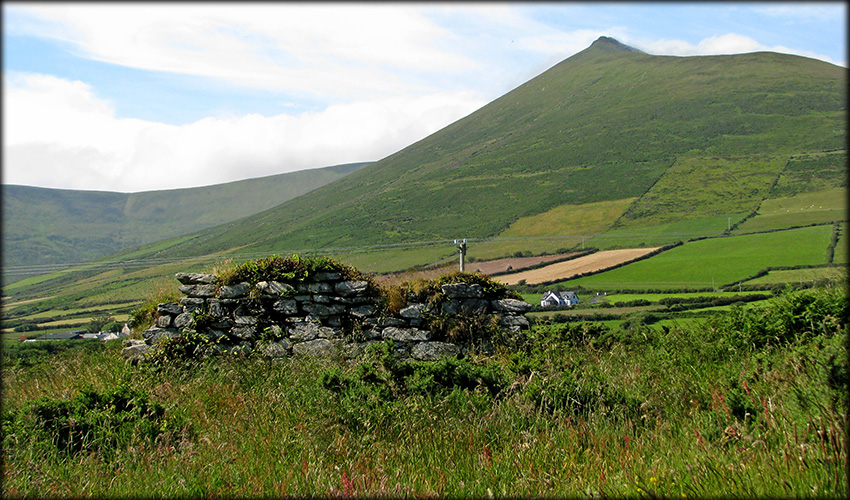
St Martin's church is beautifully situated in a fertile valley on the southside of the Dingle peninsula, it stands within a large oval-shaped ecclesiastical enclosure that measures over 70 metres E-W and more than 50 metres N-S. Also inside the banked enclosure are the foundations of four house sites, a possible souterrain and a calluragh or children's burial ground. The earthen bank is about 2.5 metres high externally, but due to the raised ground, internally it is roughly 1.5 metres high internally.
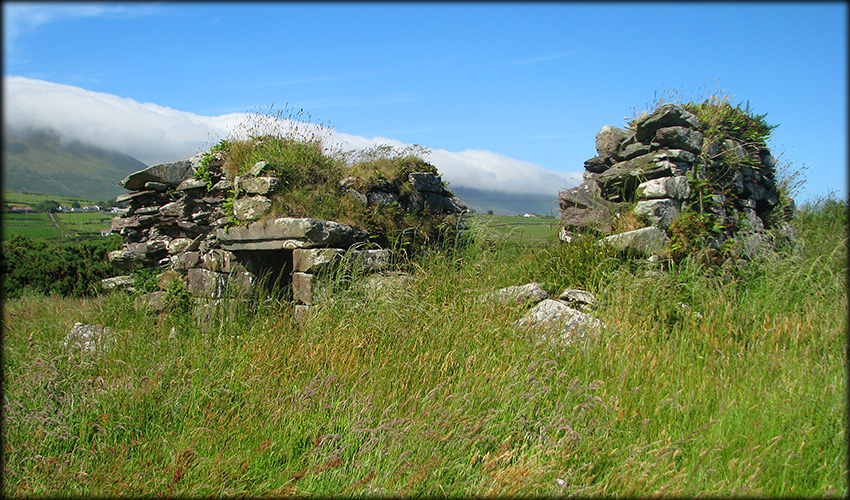
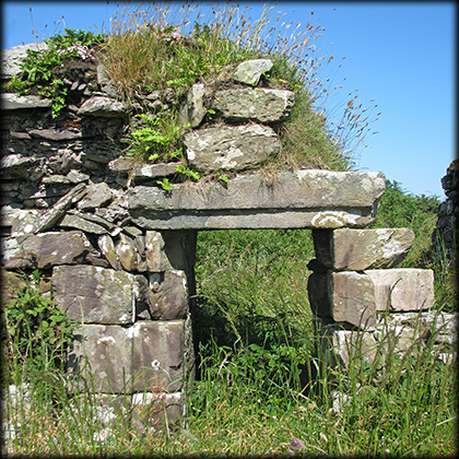
The church ruins stands in the eastern sector of the enclosure, the west end was built pre-13th century and was extended to the east in the 15th/16th century. Probably the best remaining feature of the church is the lintelled doorway, pictured at the bottom of the page, it has a large lintel stone mounted on square blocks. there are no visible gravestones or carved stones remaining on site. Apart from its gorgeous location I can't really recommend a visit to Templemartin.
Situated: From Lispole head west on the N86 for about 350 metres, St Martin's is situated on farmland on the north side of the road. Please ask for permission if you do visit.
Discovery Map 70: Q 51433 01245. Last visit July 2021.
Longitude: 52° 08' 36.2" W
Latitude: 10° 10' 16.4" N
Photos: José Gutiérrez.